Welcome to MCIS: Mapping & Construction Idealistic Systems
Drone Technology and GIS Expertise Unleash the Power of Aerial Innovation with MCIS India – Your Premier Partner in Drone and LiDAR Surveys, GIS Mapping & Analysis, and Remote Sensing Solutions.
About Company
Welcome to MCIS: Mapping & Construction Idealistic Systems the world of effortless precision with our Drone / LiDAR Surveys! Designed to simplify the way you collect high-resolution imagery and data, our aerial surveys redefine efficiency for various industries.
At MCIS, we redefine the landscape of surveying through cutting-edge Drone and LiDAR technologies, providing unparalleled accuracy, efficiency, and depth of data. Our comprehensive solutions cater to diverse industries, offering a transformative approach to data collection and analysis.
Solutions Across Industries
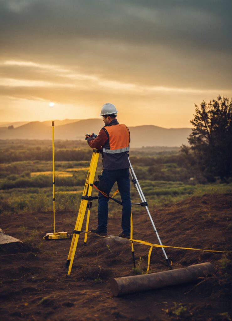
DRONE LIDAR SURVEY
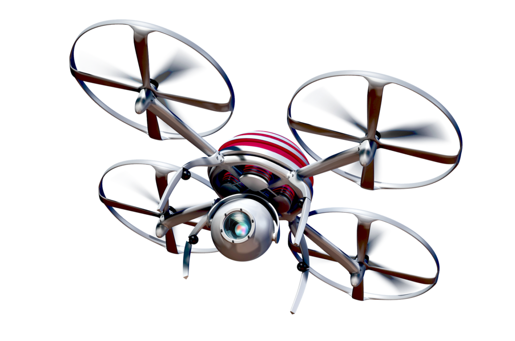
Drones, equipped with cameras or sensors, efficiently capture high-res imagery and data in aerial surveys, offering advantages over traditional methods for diverse industries.
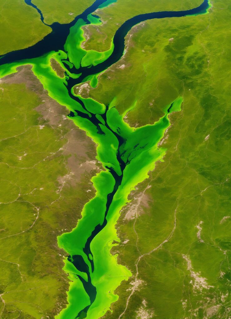
GIS MAPPING & ANALYSIS
GIS mapping analyzes spatial data, aiding informed decisions and problem-solving across disciplines by creating, managing, and interpreting geographic information systematically.
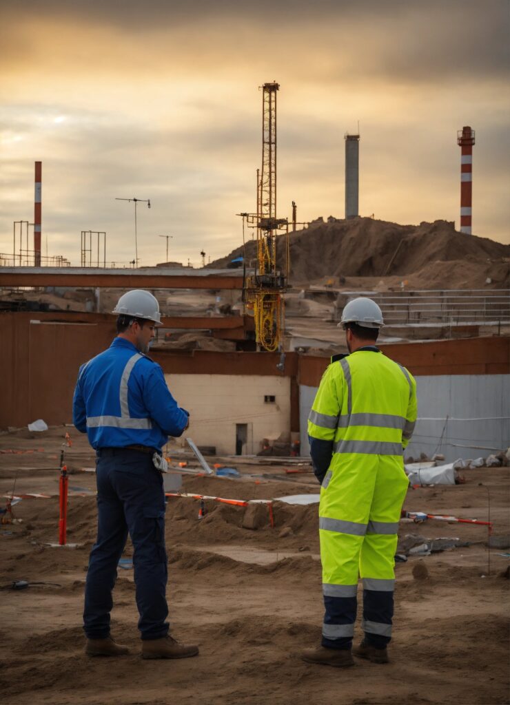
construction contractor
Leading construction contractor specializing in government highway and bridge projects. Trusted for excellence in executing government contracts with precision and quality.
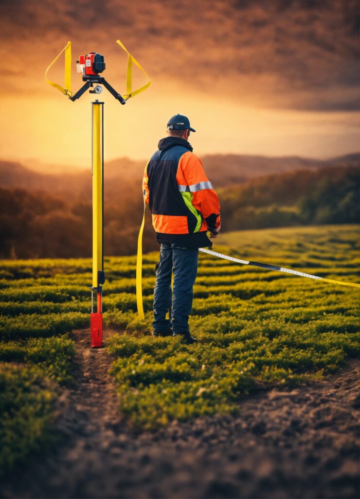
MANPOWER PROVIDER
Your one-stop solution for skilled manpower in engineering—drone pilots, CAD operators, Lidar engineers, site inspectors, and labor—ensures project success.
Our Engineering Services
STRUCTURAL DESIGN
Urban and Regional Planning
PMC (Water Retraining Projects)
MEP Engineering
Hydraulic Design Modelling
Why We Are?
GOAL
“We endeavor to achieve double the value of Mapping & Construction Idealistic Systems in the next two years through technological up gradation, Competitiveness, focused approach and cost effectiveness.”
VISION
“We aspire to develop and deliver a value system to the customer with excellent quality and cost effectiveness and with a focus on speed”
MISSION
“Mapping & Construction Idealistic Systems is committed to develop the high end technology solutions with constant innovation, continuous improvement and value added services”
Trusted By Customers
WORK GALLERY


